
Interactive maps
and digital directories.
We build interactive property maps and searchable directories, along with the tenant data and update process that keep them accurate.

We build interactive property maps and searchable directories, along with the tenant data and update process that keep them accurate.
The map a visitor sees depends on leasing records, suite numbers, floor plans, and someone whose job it is to update them.
We build both halves: the public map and directory, and a simple, documented process that keeps them right when tenants change.
When a store moves out, the change starts in leasing. Select each step to see everywhere it has to go before a visitor sees the right map.
It starts with a lease, an amendment, or a move-out, not with the directory.
The source changes first.The map and directory live on the property website. Visitors search for a store, see its details, and get walking directions on a phone or a desktop.
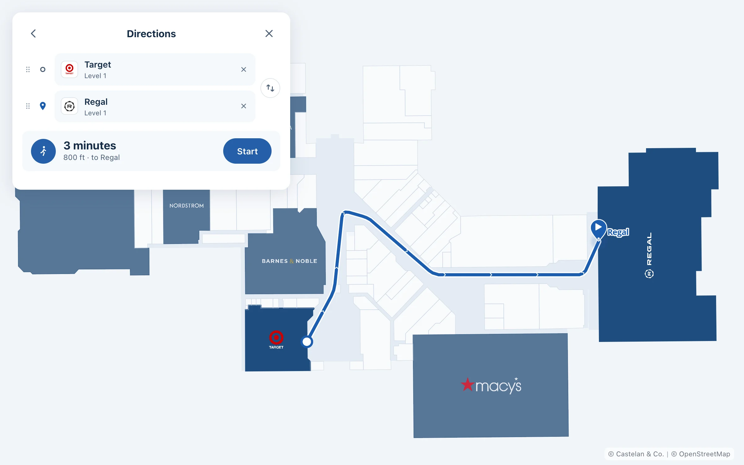
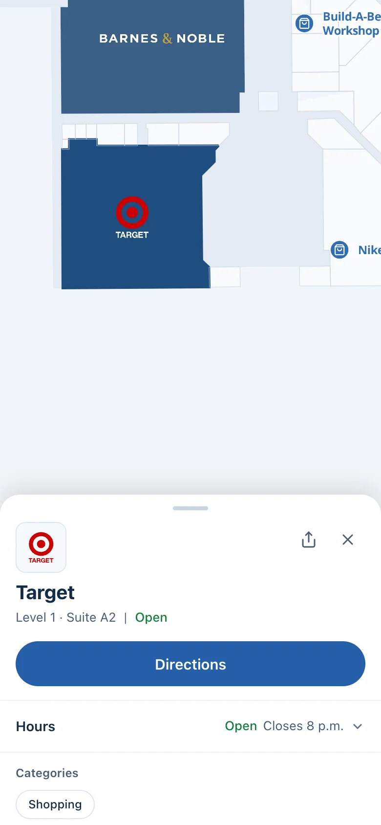
We built a working map and directory for an enclosed shopping center: tracing the property’s plans into map data, writing the route finder, and embedding it in the property’s WordPress site.
Explore the projectStore units, levels, entrances, and walkways, traced from your property plans.
One clean list of tenants, categories, suites, and hours.
Search, store details, and walking directions, designed for phones first.
Embedded in your property website, including WordPress sites.
Names, suite numbers, and categories that match your printed directories and signs.
Who changes what and how, documented so the map stays right after launch.