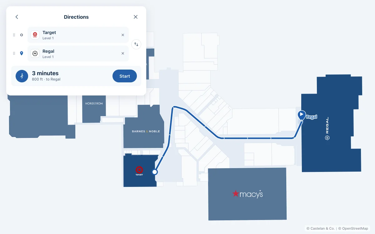
A directory stays accurate only when the process behind it is designed to handle change.
The map isn’t finished when it’s drawn.
Shopping centers change constantly. Tenants open, move, close, rebrand, combine suites, and change categories. Entrances shift, amenities move, and construction interrupts familiar paths.
A static graphic can be accurate on the day it’s approved and wrong after the next lease is signed. Treating the map as a finished file turns every change into an exception.
One change reaches many places.
When a tenant changes, the update can touch the leasing plan, the tenant record, the website, the searchable directory, a kiosk, a printed panel, the amenity list, and what staff tell visitors.
If those don’t share one source and a clear update path, accuracy depends on someone remembering every place.
Good wayfinding connects data to how people move.
A useful map knows more than coordinates. It connects a destination to the words visitors search for, the entrances they use, and the routes they can actually take.
That’s why suite numbers, categories, landmarks, accessibility, and search aren’t secondary details. They’re how a visitor understands the place.
Design the update process with the interface.
The public map and the way it gets updated should be designed together. Name the sources. Make ownership explicit. Make changes reviewable. Let printed and digital outputs share the same information, even though they won’t update at the same speed.
The result is a directory that stays useful as the property changes, not just a better-looking one.